Analyze Data from Images in Google Earth Engine
Examine satellite imagery and data on a timelapse topic using Google Earth Engine.
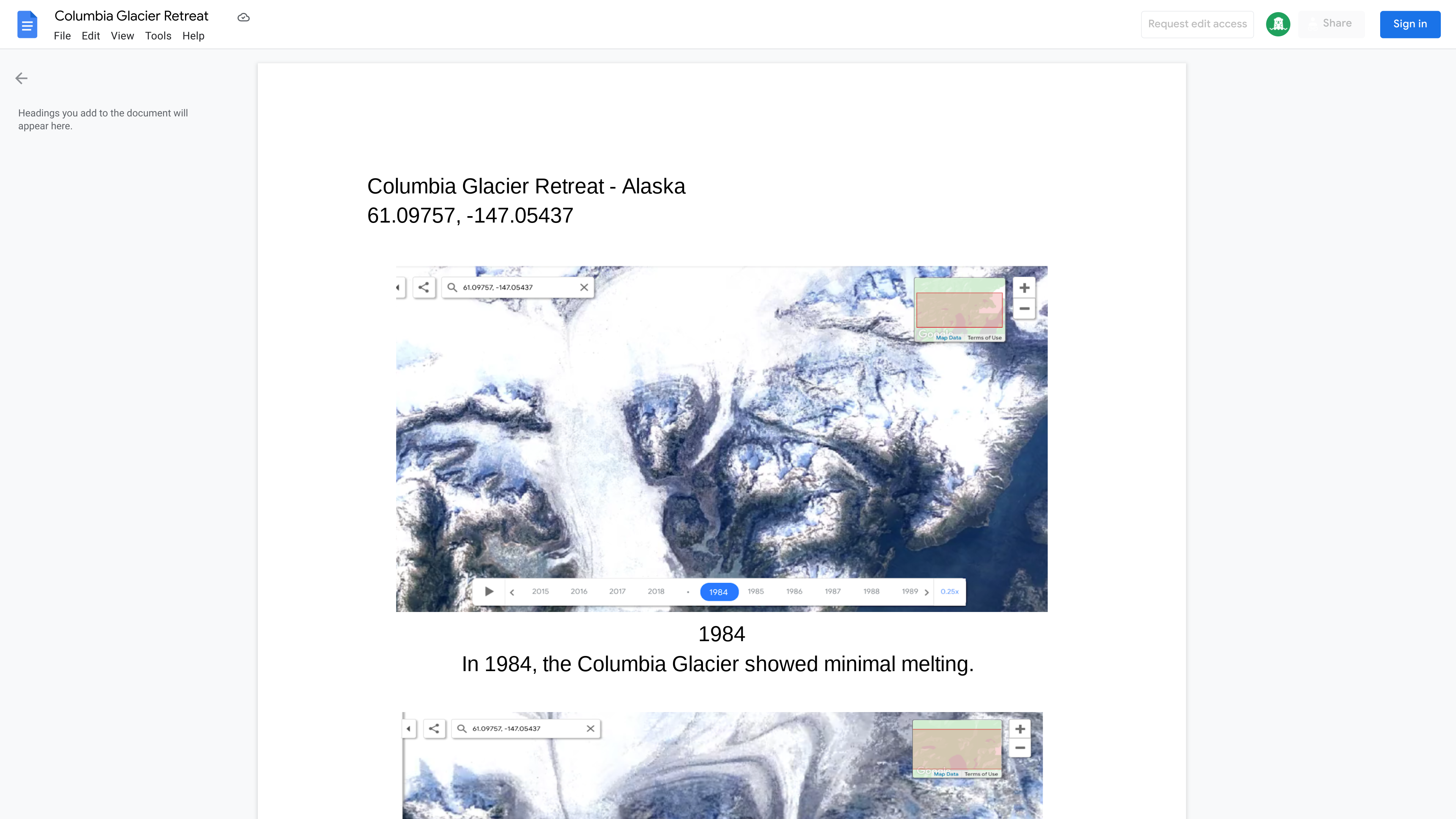
Example outcome
Lesson details
Learning objectives
By the end of this lesson, students should be able to:- Collect data from timelapse images and analyze it to draw conclusions about a topic
- Understand the significance of environmental changes and how they impact the Earth
Time to complete
Audience
Digital tools
 Docs
Docs Google Earth Engine
Skills


